|
Many railfans, railroaders,
and historians will argue
that one of the biggest mistakes CSX ever made (in Virginia) was
abandoning the former Seaboard Air Line (SAL) mainline between South
Collier, VA and Norlina, NC. Regardless of one's opinion, the line is no more. The
SAL was the arch rival of the Atlantic Coast Line (ACL) and the two
companies both made their northern terminus in Richmond. The SAL was
actually headquartered in Richmond for a number of years with their
corporate offices being located adjacent to joint RF&P/ACL trackage.
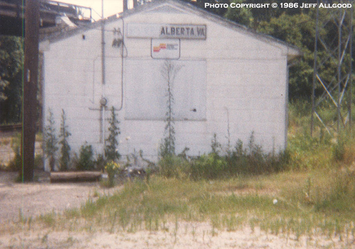
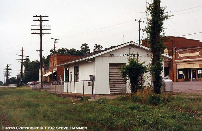
Almost immediately following the
1967 merger with the ACL, the segment from Centralia to Petersburg was
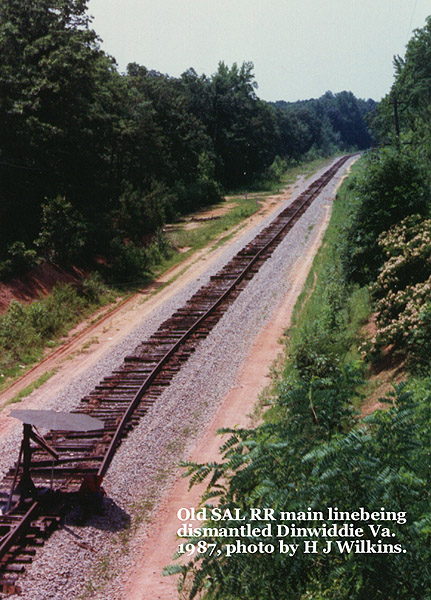
abandoned in favor of using the existing ACL mainline (A-Line). In 1987
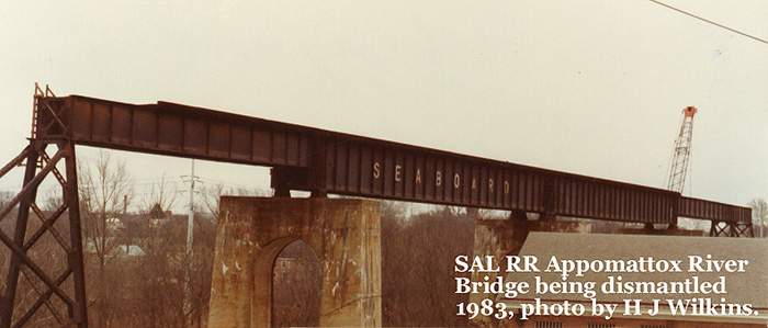
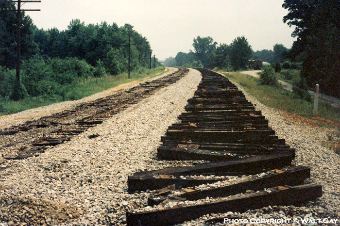
CSX finally pulled the plug on the Norlina Subdivision and the tracks
were removed. Coincidentally, the signals that once protected the
S-Line were sent to Savannah, GA for refurbishment and are now serving faithfully on the North End Subdivision
between Richmond and Rocky Mount, NC.
-
The last scheduled train was Amtrak 81
which ran on Sunday, October 26, 1986.
-
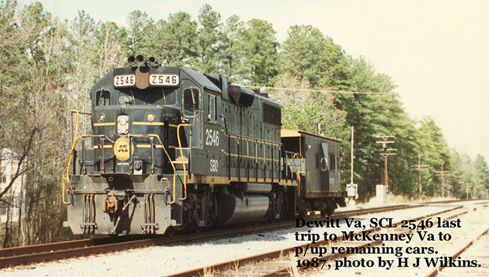
The last official train operated over
the line was a rail train in March 1987.
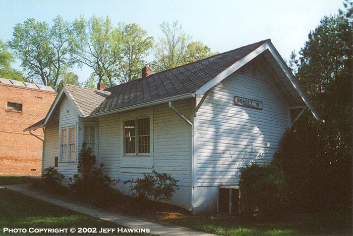
Thanks to the generous
contributions from Steve Hammer, Herman Wilkins, Walt Gay,
and Jeff Allgood, I am
able to feature the S-Line in in the "Abandoned Rails" section
of the website.
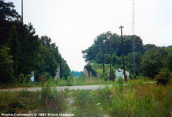
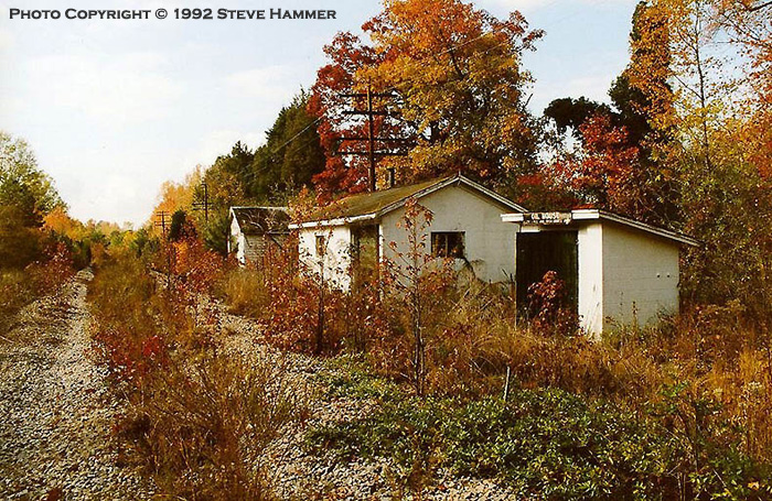
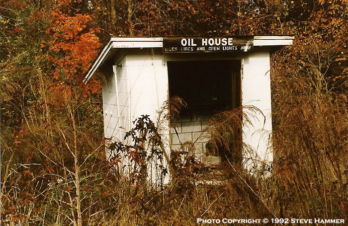
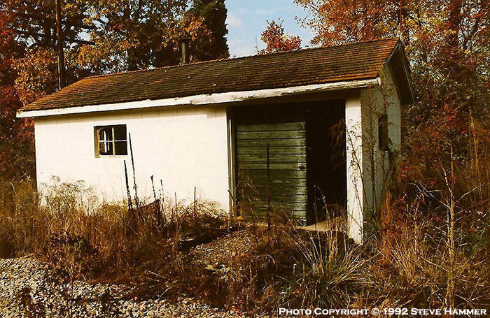
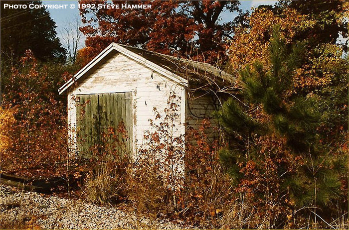
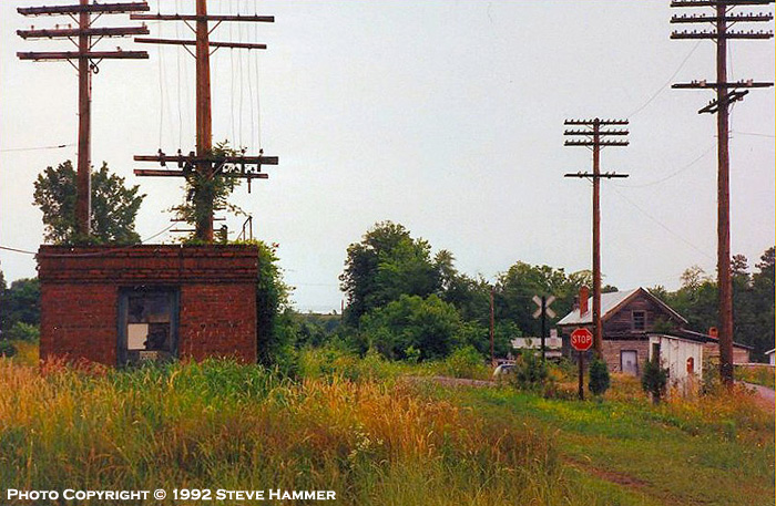
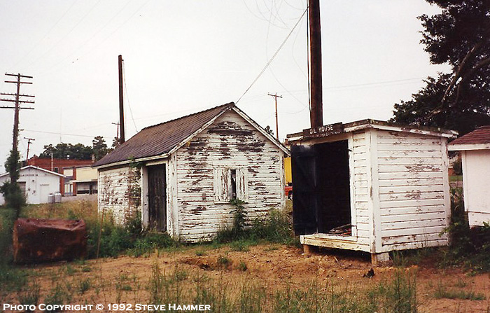
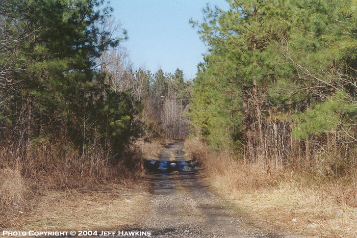
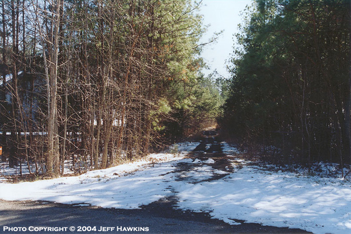
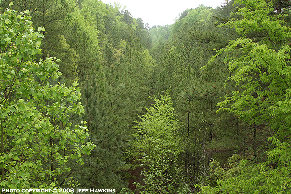
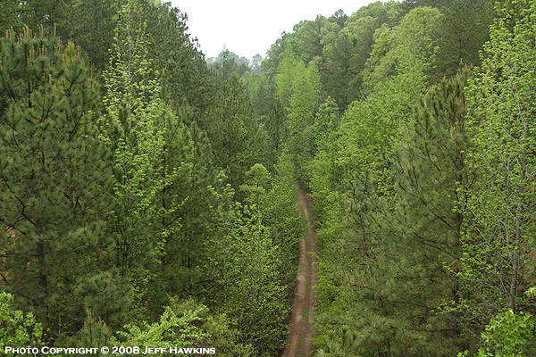
It should be noted that most of the views seen below are not possible
anymore due to extensive overgrowth. For additional photos of the modern day Norlina Subdivision,
click here.
If you would like to
contribute material, please
e-mail me.
|